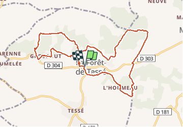
La rando des Châtaignés centenaires

alainjoseph6
User

Length
11.8 km

Max alt
152 m

Uphill gradient
110 m
Km-Effort
13.2 km

Min alt
125 m

Downhill gradient
110 m
Boucle
Yes
Creation date :
2014-12-10 00:00:00.0
Updated on :
2014-12-10 00:00:00.0
3h21
Difficulty : Easy

FREE GPS app for hiking
 SityTrail
IGN / Geographical institutes
SityTrail Plus
The world is yours!
About
Trail Walking of 11.8 km to be discovered at New Aquitaine, Charente, La Forêt-de-Tessé. This trail is proposed by alainjoseph6.
Description
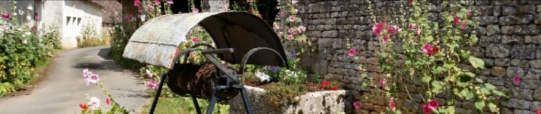
Facile , trés ombragé
Photos


Positioning
Country:
France
Region :
New Aquitaine
Department/Province :
Charente
Municipality :
La Forêt-de-Tessé
Location:
Unknown
Start:(Dec)
Start:(UTM)
274420 ; 5107122 (31T) N.
Comments